Maps & Offline Imagery
Offline Imagery
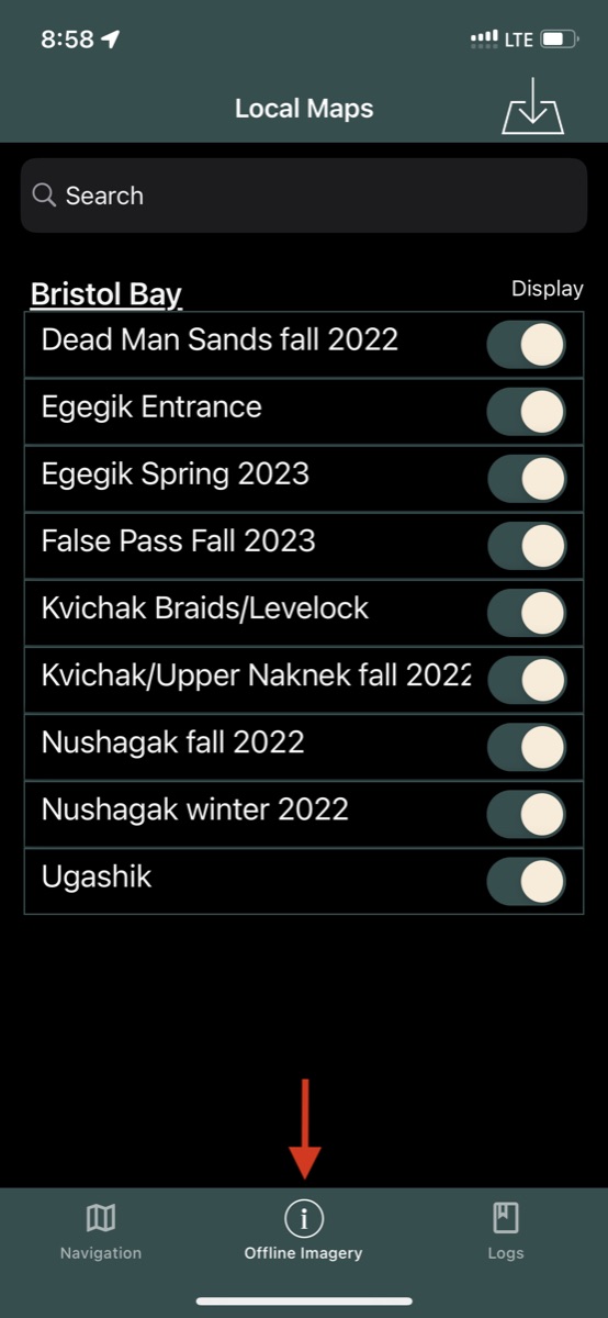
The core functionality of Bristol Maps relies on downloading imagery for offline use. A curated list of images are provided at various tide heights, organized by fishing district.
Storage
Map files can be large (50MB-500MB+). Ensure your device has sufficient storage before downloading multiple layers. Wi-Fi is recommended for downloads.
Browsing Maps
Maps are organized by district (Bristol Bay, PWS, Cook Inlet, Southeast Alaska). You can browse the full catalog, search by name, or use the recommended map sets for your area.
Downloading
Select a map to view its details and tap the download button. Download progress is shown in the map list. Downloaded maps will automatically appear on your navigation page.
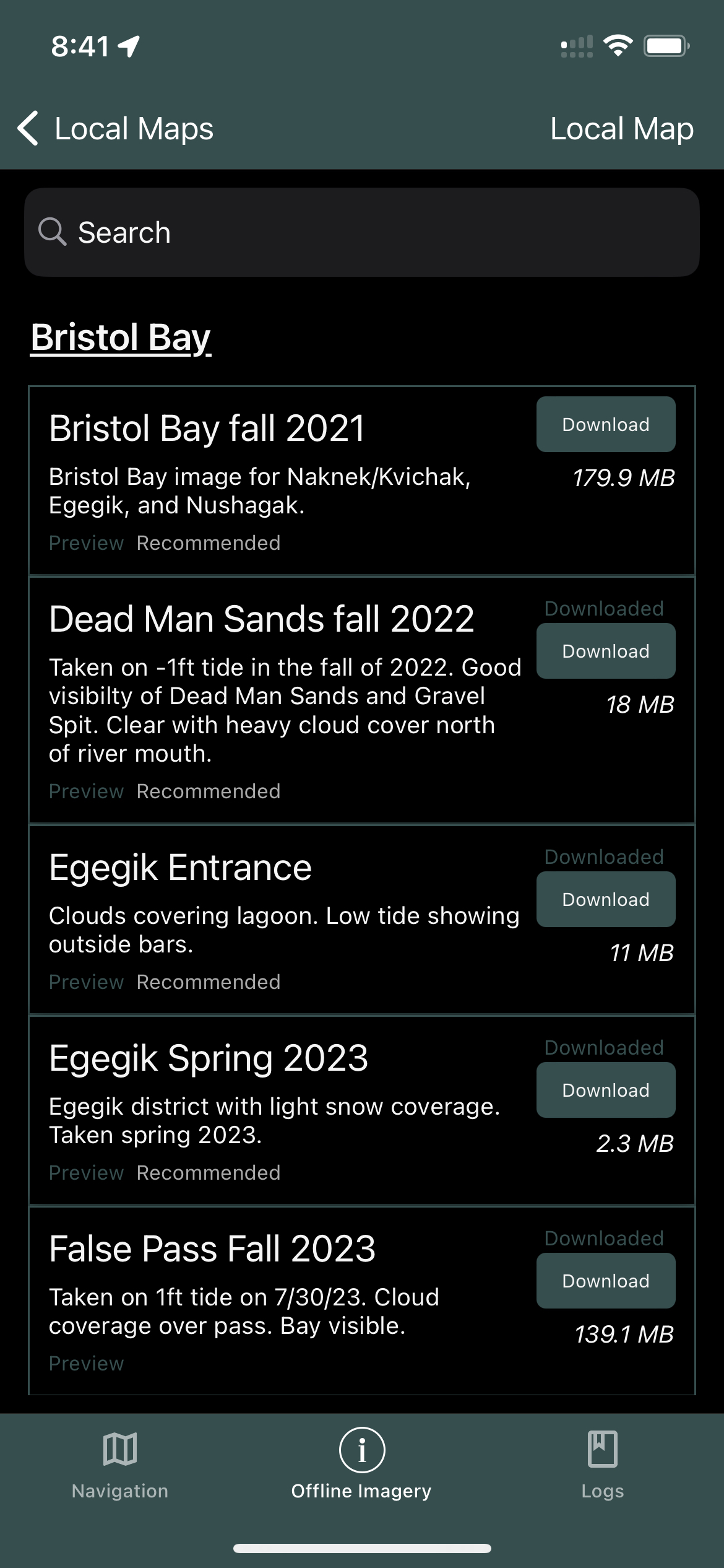
Image Layers
Layers
Various images of the same area can be overlaid on top of one another. The layers are numbered with the lowest number (1) being the higher priority and will sit on top of other layers.
Transparency
When multiple layers are being used, you can change the transparency of each layer from opaque to translucent. This is helpful when different images are taken at various tide heights.
In the following example we have two images of Nushagak Bay taken at different tide heights. The image with the higher tide has priority 19 and the lower tide has priority 20. The transparency on the higher tide is turned up which allows the bottom image to partially show through.
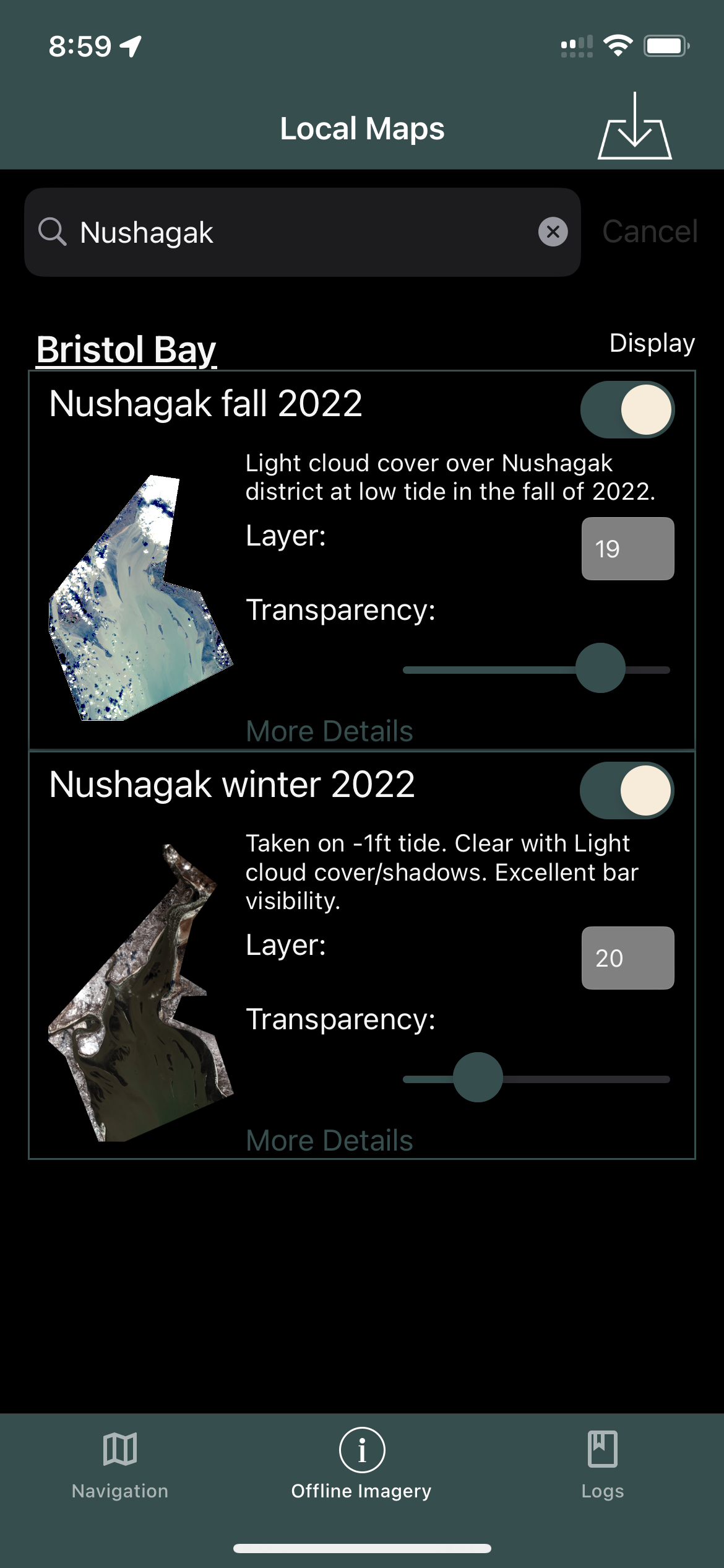
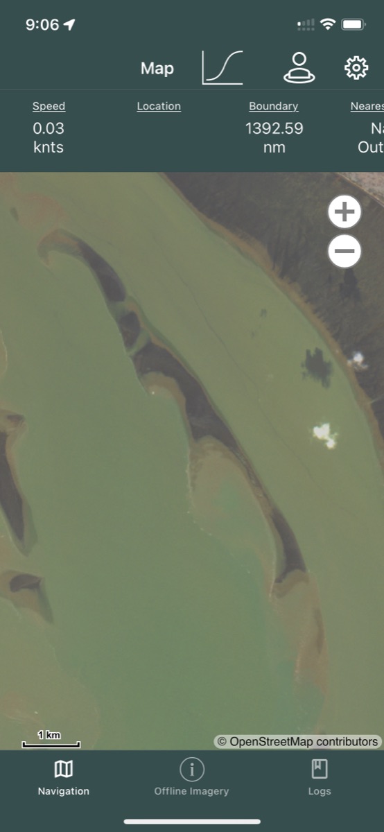
The resulting overlay shows the shadow from the bottom image showing through. This can be helpful to understand the changes the tide will have on operable areas as the tide goes in and out.
Tip
Adjusting layer transparency is especially useful for comparing high-tide and low-tide imagery to identify shallow areas and channels.
Online Basemaps
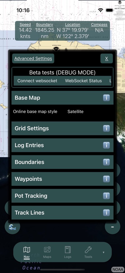
Online basemaps are used as a bottom layer on which offline maps are built. These require an internet connection. A basemap can be selected via the Settings menu on the Navigation Page.
Basemap Options
Satellite
Displays curated Bristol Maps satellite imagery. Helpful for previewing available imagery before downloading.
NOAA
Streams modern NOAA nautical charts with navigation aids, depths, and hazards.
Alaska High Res
Curated imagery provided by the State of Alaska. A collection of older high-resolution imagery -- some images may be several years old but provide excellent resolution.
Streets
Open Street Map showing a non-satellite view with roads and highways.
Related
See Map Overview for how to interact with map layers on the navigation page, and Settings for layer configuration options.